
By the end of reading this I hope you come away with some idea of what I am on here to do. It is a meaningless statement to say history is everywhere. Of course, it is, and of course I will find it on an otherwise nebulous walk on the Roseland Heritage Coast in Cornwall. For me, history is a hobby. I love to see it, and to interact with it in all forms, and to once I have to understand it, and that is all I am trying to do here. But that is not why I called this Searching for History; that came about entirely because I did not intend to find it, but as I hope to demonstrate with this blog, there is so much out there to see.
I should explain, at the time of writing I am living in Cornwall, though I come from London. In many ways this place is entirely alien, but I’m loathe to sit indoors and do nothing so whilst here I’m going out as often as I can, picking a direction, and seeing what I can find. Today was a gorgeous day, and perfect for such a thing. I’ve spent a lot of recent times looking at ruined mines on the north coast (channelling my inner Poldark) so the south was ideal. I looked at a map, identified the coastal village of Portscatho, and headed out. Except I never actually got there, as anyone from a city may relate too sometimes country roads are awkward to navigate. Instead I found myself in a car park over a beach about a mile up the coast from the village.
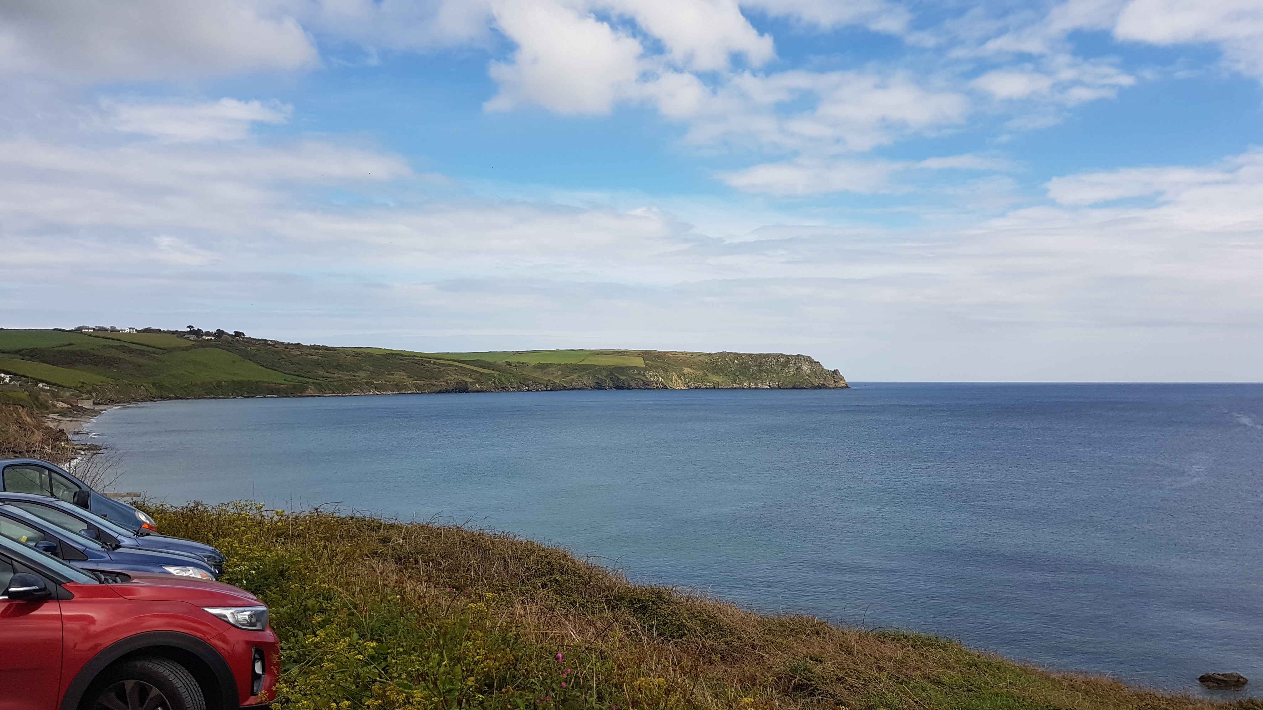
Firstly though, I cannot praise this area enough if you want to get outdoors. Much like other sites across the South-West of England, the Roseland Heritage Coast is a stunningly pretty environment with clifftops, beaches, picturesque villages, and river valleys. To those not historically inclined (why are you here?) there is plenty to look at, and the National Trust especially maintain a variety of impressive walking routes allowing people to access much of the environment and also to avoid the narrow local roads.
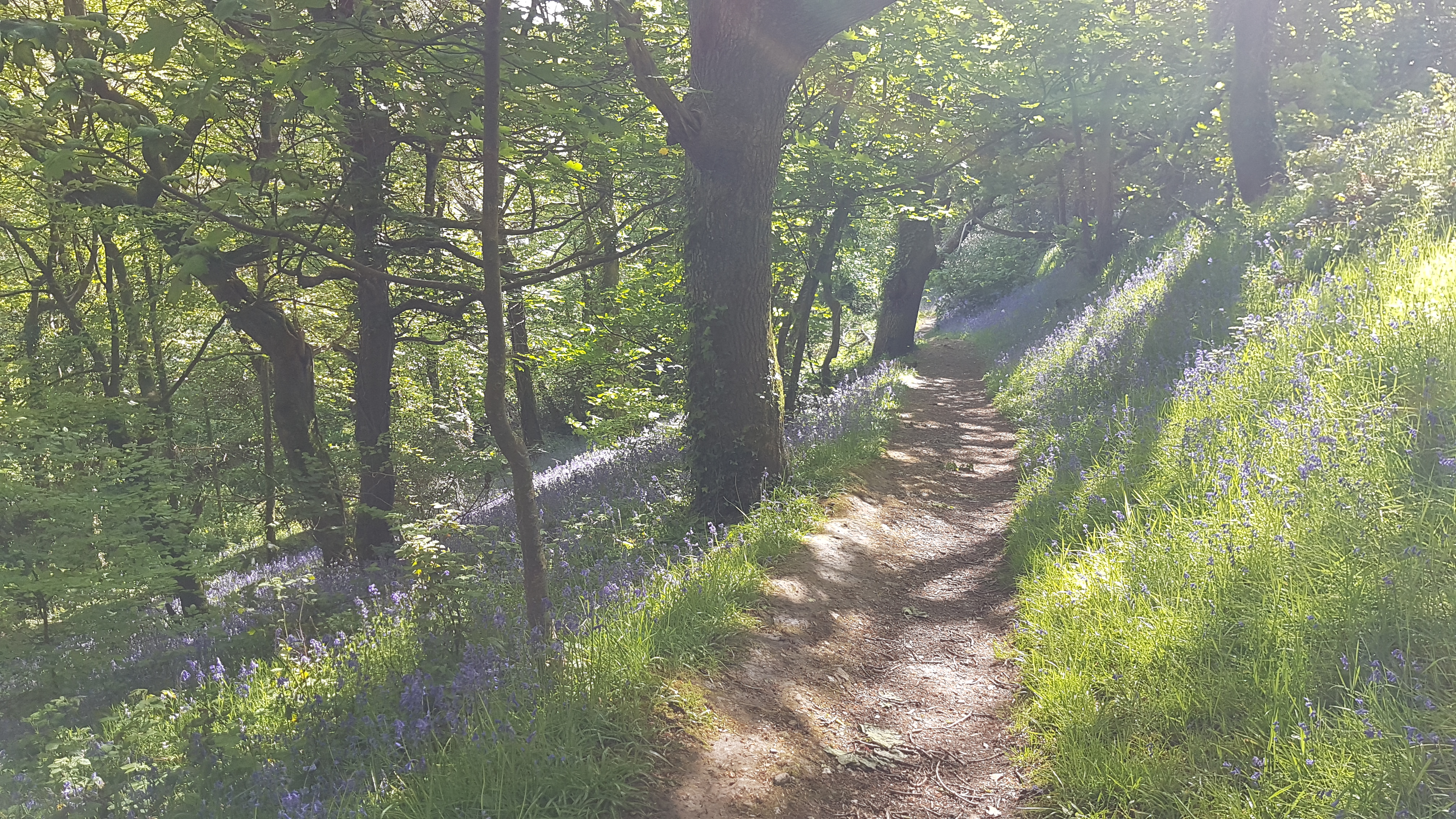
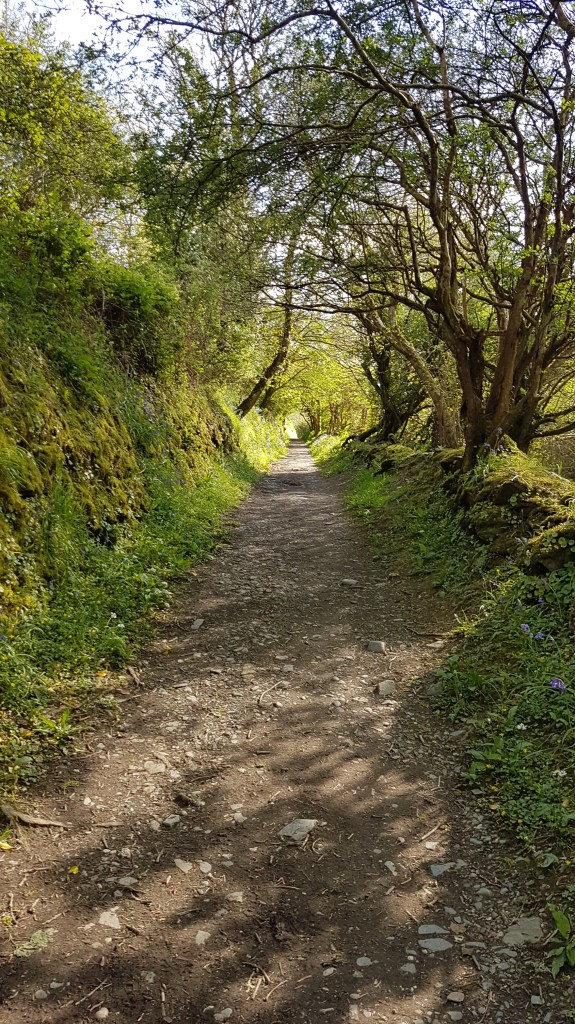
It would be all to easy for me to post images here. I took hundreds, and there is no part of this area not worth seeing. Likely I will post them online at some later point. Whilst I explored the site I came across signs directing visitors to things I had never heard of before. Veryan Castle was one, and the other was Carne Beacon.
Okay, tourist disclaimer time. I have never been someone who avoids exploring areas, and I will not pretend the routes I followed on this trip were somehow unknown or that I discovered them as some Indiana Jones figure with an ancient map or unknown providence. Although many of the paths are horrendously signposted to the point where I ad to guess my direction more than once, and no part of this route would be possible to anyone who is not able-bodied, I was none the less on trails frequented by visitors to Cornwall. But that doe snot matter, and is in many ways the whole point. The point of this blog is to show history can be found anywhere, and how it can be understood. This site is for the most part accessible, reachable, and there is no entry fee. This is history outdoors in the world, exactly where it was left thousands of years ago.
Back to the story; Veryan does not have a castle in the obvious sense. this is a small Cornish village with some excellent cottages and is worth a visit on a day out. The site has been occupied for thousands of years, and the “castle” is a testament to this. I cannot show images of it here, as I never actually found it however. One of the National Trust routes I followed in curiosity to see what these places were took me to a broad valley arching north from the coastline past Veryan village. This valley is long, full of cattle, and flanked by steep sides. There can be little doubt it would serve a defensive capability against anyone landing in the bay (more on this later) however there is no sign of any existing fortification. Veryan Castle is not a castle in the Norman sense but a defensive enclosure dating to Cornwall’s ancient times. Somewhere which perhaps served as a fort but may as likely be an administrative centre or simply where the local lord had his estate. All that remains are minor earthworks and a ring of trees I later learned are best observed from the air. I lost the trail of the path (there are few marking in the valley for the route) and with no obvious signs of human activity beyond those of the farm visible from the ground any thorough search would have been futile. It is a shame, and I do plan to return and find. Carne Beacon however is another story entirely.
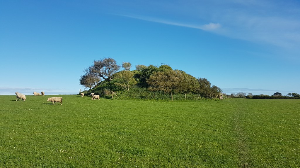
Carne Beacon stands a short way from the valley, looking to the Gerran’s Bay coastline. It is around 7000 years old, and is believed to have been built as the grave of King Gerrenius, who was entombed within in a golden boat with silver oars which was also used to bring him to the site. No such boat has ever been discovered, and excavations of the Beacon have been inconclusive that anyone is buried there at all. The site may also be religious, inspiring awe or pilgrimage for ancient Britons. Another possible use for the Beacon however is military.

What is the point of this blog entry? It is not as it may appear to promote National Trust walks in Cornwall. What I want to do is reveal how the landscape may be read and how history interacts with the world around us. The beaches of Gerran’s Bay are scattered with pillboxes, some incorporated into houses as unusually-shaped rooms with excellent views of the coastline, others ruined and much harder to identify. This site is only a few miles from St Mawes Castle, a Tudor artillery fort built in the latter years of Henry VIII’s reign to assist Pendennis Castle in the defence of Falmouth Bay. The Beacon has been used for military purpose. atop its 6-metre summit is a concrete slab once home to an anti-air observation post and radio system. the height advantage would likely have assisted in enabling a clear broadcast as well as allowing the soldiers posted there a wider field of view.
Those are more modern examples, but we can extrapolate from this back to the ancient world. The Beacon watches the bay and the valley which remains the main point of access today. It stands on the far side to Veryan Castle which certainly dates to the period, and we know from the accounts of King Gerrernius’s funeral that he likely entered the area through the bay, likely following this same route.
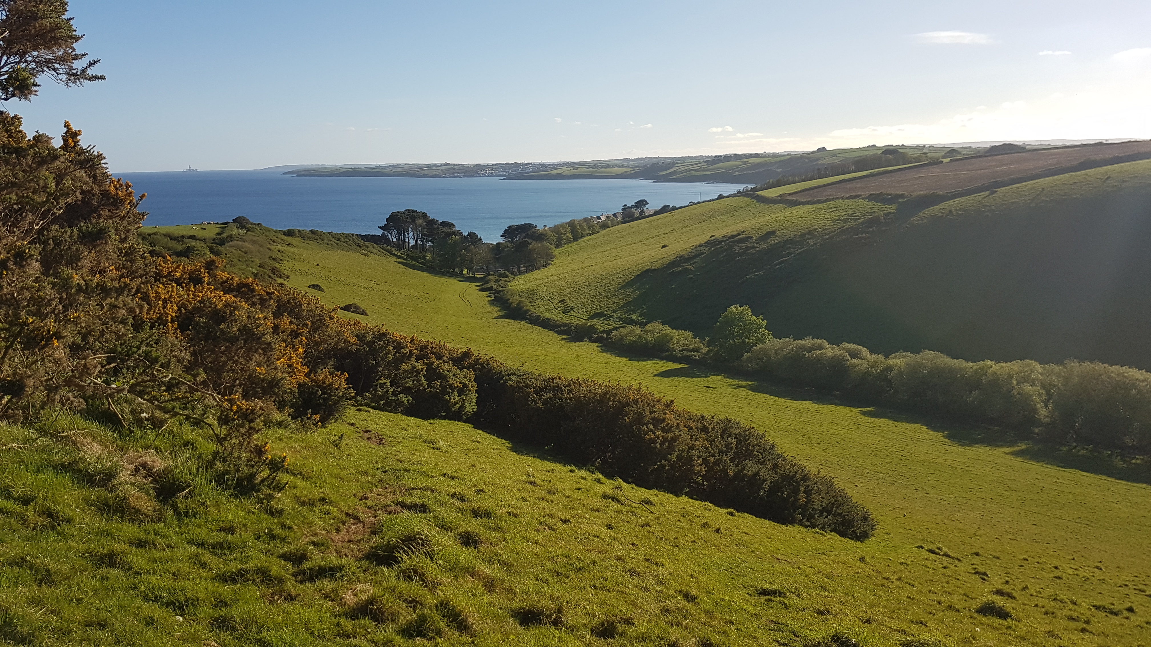
So why should we presume that an obviously strategic landing in Tudor England and the Second World War was not equally important in the ancient world? My point is there is a habit when viewing an ancient site, or any historic location, to separate it from the surrounding landscape and to isolate it. I have no doubt this site was of religious significance. Veryan had no church before the Norman period, yet from viewing place-names in the surrounding region alone we see enough evidence of the importance of English Saints and religious history that we cannot remove religion from any interpretation; Veryan itself likely deriving from Severian, or Saint Veryan. So where would the locals pray? Burial mounds are often found near or at religious sites no different to how we find the graves of kings today inside the cathedrals and churches they had built.
In many ways the landscape around Carne Beacon is typical of the English countryside. There is the broad sweet of the valley, the narrow paths, open fields, and pockets of hedgerow and trees marking the divisions between spaces. If we look beyond that however at the names of where we are, and the scattered relics of the past which are everywhere in the British Isles, we can begin to form a narrative. I went to the beach not in search of history but purely a place where I could relax for a few hours and perhaps do some reading. What I found was evidence of ancient occupation, and a continuing military use across centuries. Why does this matter? When we look at history we should never isolate it or remove it from modern times. Our landscape is impacted by the ancient world, and the way we interpret it and interact with it is influenced by a succession of practices. In the future I will use this blog to explore specific locations – to explore them and examine them in detail. For now, however I encourage anyone who is willing to get outside, and to look at the world around them. Because even when you are not searching for history – it’s out there. And I think you will be surprised about what you’ll find.

